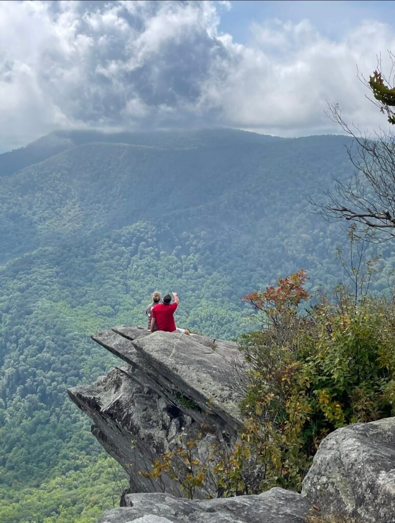
Pickens Nose
Nantahala National Forest, Ball Creek Rd, Otto, NC 28763
Trail head: 35.03047° N, 83.46171° W
October 2023
Pickens Nose is located in the Nantahala National Forest near Otto, North Carolina
The drive up to Pickens Nose Trailhead can begin from various points from the east or west and a note worth mentioning is that these gravel roads are subject to seasonal closures.
From Coweeta Lab Road or Shope Road from the east in Otto, NC the drive starts out on small country roads and then turns into one lane gravel roads for most of the climb up to the trailhead. This drive is almost worth the entire trip, with very steep single lane inclines, and switchbacks that encourage the recommendation of AWD or 4 wheel drive. The drive from the west starts at US Highway 64 on Allison Creek Road and eventually National Forest Road. From this direction it is a much longer, more gradual climb to the trailhead parking. The drive takes you through many miles of dense forest and at times follows Hemp Patch Branch Creek which meets the Nantahala River near Big Laurel Falls.
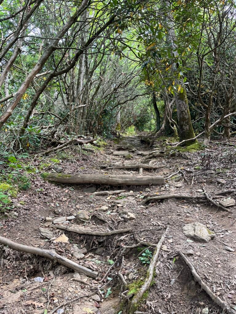
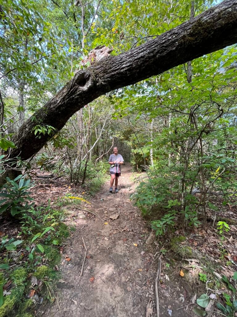
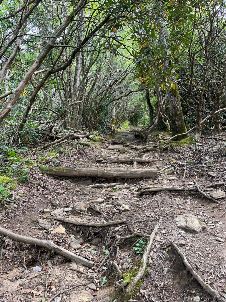
The trailhead parking is small but…
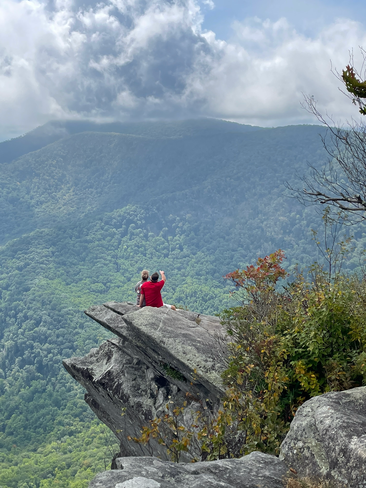


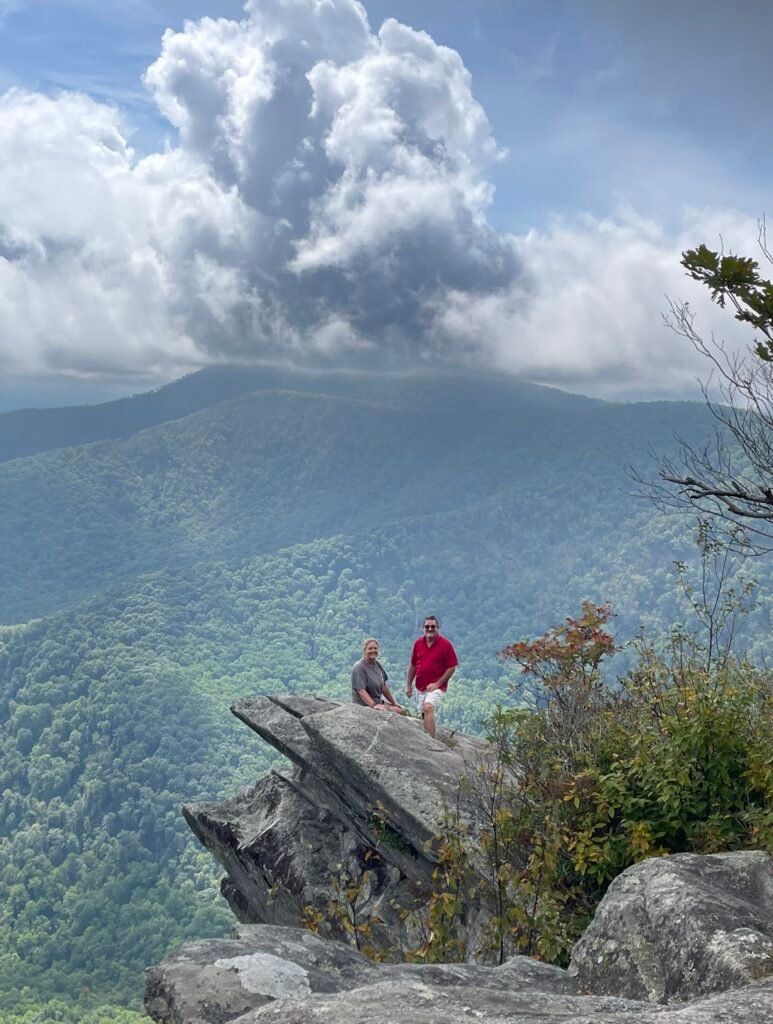
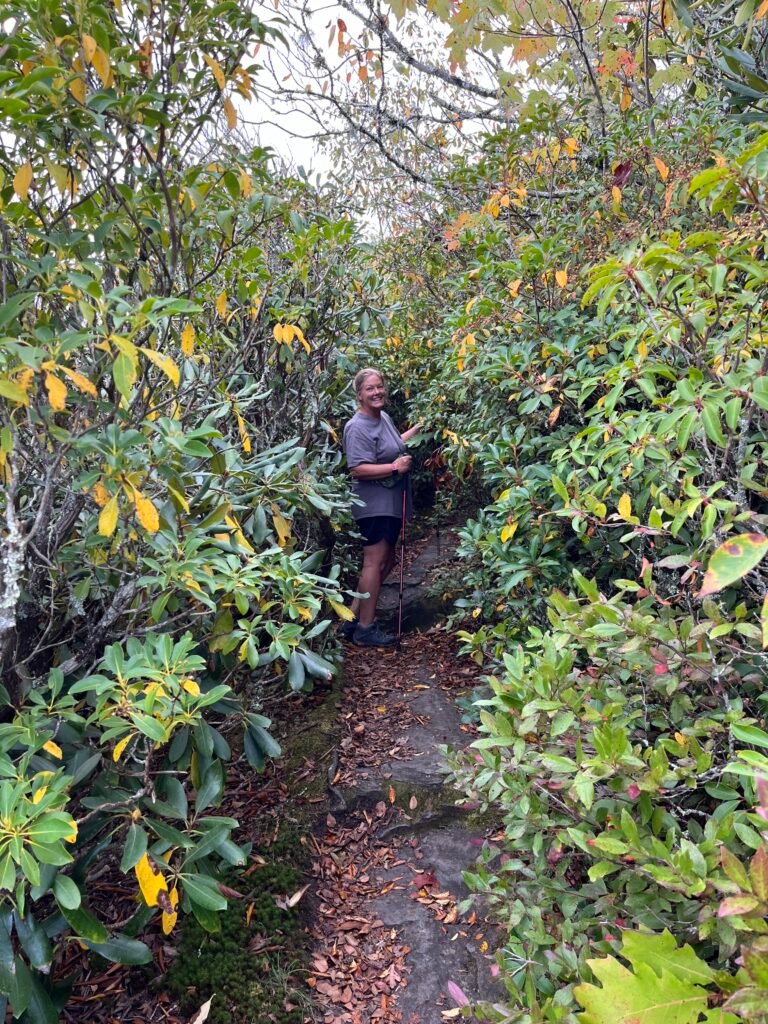
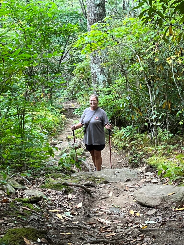
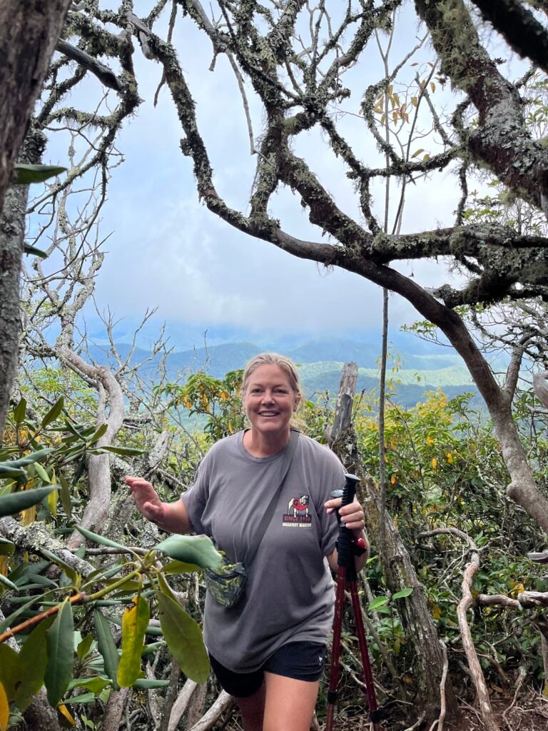
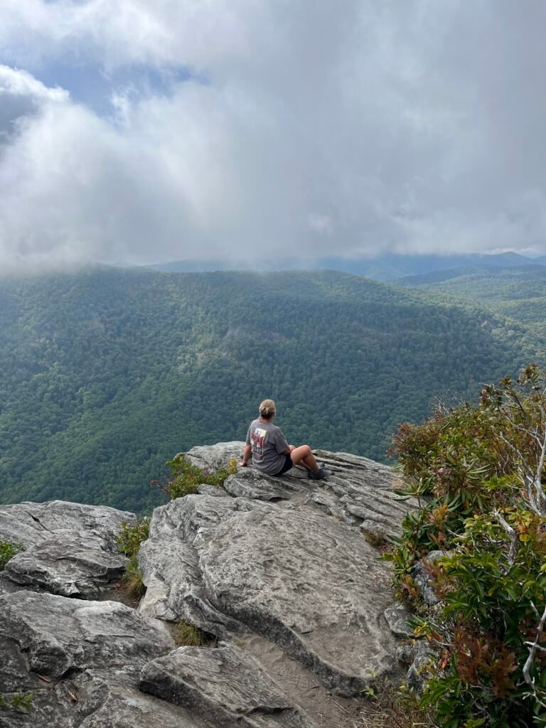
Lat/Long: 35.02250° N, 83.45778° W
Trail head: 35.03047,-83.46171
Nantahala National Forest Ball Creek Rd, Otto, NC 28763
Jake Scott told us about Pickens Nose and Albert Mountain fire tower and how to get there.
He is a co-owner of Wander North Georgia Outpost with two locations in Tallulah Falls and Clayton, Georgia.
There is also Tallulah Adventures and the Edge Cafe’ and we sat and talked to one of the owners,
Bill Turk at the Edge Cafe’. A delightful stop for a beer and some good grub.
11785 Hwy 441, Tallulah Falls, GA 30573
wandernorthgeorgia.com
tallulahadventures.com
